Monsoon | Nepal monsoon forecast | Heavy Rain | NDRRMA
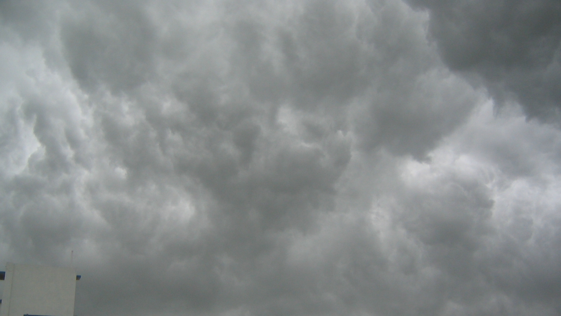
Monsoon will begin two weeks early this year, the Department of Hydrology and Meteorology released its forecast last Wednesday. It will arrive 1st June (18 Jestha) and last until 30th September (14 Ashoj), with the country highly likely to receive above-average rainfall this monsoon, says the department.
Above-normal precipitation forecast
| Region | Likelihood |
| Eastern part of Karnali Province, the northern region of Lumbini Province, and most areas of Gandaki Province | 55% - 65% |
| The southern belt of Sudurpashchim Province, the western parts of Lumbini Province, the northwestern areas of Gandaki Province, and the northern regions of Bagmati and Koshi Provinces | 45% - 55% |
| Remaining parts of the country, including the western and southern regions of Madhesh Province | 35% - 45% |
At the same time, the maximum and minimum temperatures are also expected to remain warmer than usual across the country.
Northwestern Sudurpashchim, northern Karnali and Lumbini, western Gandaki and Madhesh, and central Bagmati have a 55–65% chance of hotter days. Eastern Madhesh and central Gandaki face a 35–45% chance. The rest of the country is looking at a 45–55% likelihood of above-average maximum temperatures.
Similarly, there's a 55–65% chance of warmer nights in most of Karnali and Bagmati, central Lumbini, western Madhesh, and the Terai region of Koshi. Other areas, including parts of Sudurpashchim, Gandaki, and northern Koshi, face a 35–55% likelihood of higher-than-normal minimum temperatures.
The department’s assessment is based on estimates of global and regional climate information centres, including the South Asian Seasonal Climate Outlook Forum (SASCOF).
The forecast takes into account the current status of climate drivers that influence Nepal’s monsoon season, such as the El Niño-Southern Oscillation (ENSO) developing in the Pacific Ocean and the Indian Ocean Dipole (IOD) forming in the Indian Ocean.
El Niño-Southern Oscillation (ENSO) is a climatic phenomenon which affects the entire world’s weather and monsoon, which recurs with variations in the Pacific ocean’s surface temperatures. ENSO includes El Niño, the warming phase of the surface water; La Niña, the cooling phase and neutral (Pacific Walker Circulation) phases. With La Niña’s ongoing effect, it is expected to bring above-average rainfall to all of South Asia, including Nepal.
The Indian Ocean Dipole (IOD), a phenomenon similar to El Niño, is characterised by irregular movement in sea surface temperatures (SSTs). A positive IOD strengthens the westerly winds, enhancing the moisture-laden wind entering from the Bay of Bengal to Nepal.
Currently, both ENSO in the Pacific Ocean and IOD in the Indian Ocean are in a neutral state, and forecasts suggest that they are likely to remain neutral throughout the upcoming monsoon season.
The monsoon forecast is also informed by climate model assessments, rainfall patterns observed during the past winter and pre-monsoon seasons in Europe and Asia, and other factors associated with inter-seasonal variability.
However, seasonal climate is influenced by various complex oceanic and atmospheric systems, land use changes, and other factors, notes the department due to which predicting seasonal changes in such systems using climate models with complete certainty remains challenging.
Last year, the forecast department predicted and measured more than average rainfall last in most of the country’s places. In Dodhara Chandani, it recorded a precipitation of 624 mm in 24 hours on 8th July, 2024.
This year’s forecast aligns with the previous year’s more than average rainfall, with the onset of the early monsoon.
The monsoon usually starts in June’s second week, caused by climatic influences brought by the wind flow from the Bay of Bengal. Entering Kerala normally around May end or the beginning of June, the wind flow then enters Nepal’s eastern region around mid-June.
This time, the wind’s already made a strong onset and arrived one week ahead in Kerala. The Indian Meteorological Department had earlier forecasted monsoon’s onset in India around 27 May with a window of four days. It arrived on 24 May.
What is monsoon?
A monsoon is a seasonal change in the direction of the prevailing, or strongest, winds of a region. For Nepal, monsoon is a major rainy time of the year, critical to both agriculture and the country’s biodiversity.
Nepal experiences both summer monsoon and winter monsoon. The summer monsoon, or the dominant monsoon, starts in June and lasts normally for 100 days, ending in September. Summer rains are critical for the country’s agriculture and biodiversity.
Winter monsoon in the country is more pronounced in the western hills for a short period—December to February, which receive occasional short bursts of rain and snowfall. Winter rain in Nepal generally marks the end of the winter season.
This, however, doesn’t apply for Trans-Himalayan regions in northern Nepal. Dolpo and Mustang remain mostly dry year-round and do not experience the monsoon in the same way as the rest of the country due to their location in the rain shadow of the Himalayas.
Impacts—
Given Nepal’s heavy reliance on monsoon rain for agriculture, it is considered a macroeconomic factor—with the above-average monsoon expected to be favorable to crop yields. Paddy transplantation usually accelerates with the early monsoon, corresponding to a higher yield. Being the country’s staple food crop and the biggest agricultural commodity, higher paddy production contributes to a boost in the country’s economic growth.
Likewise, river flow surges during the monsoon, which contributes to the country’s hydropower generation. Monsoon’s arrival relieves the country’s southern belt, which experiences intense pre-monsoon heat waves and prolonged dry spells.
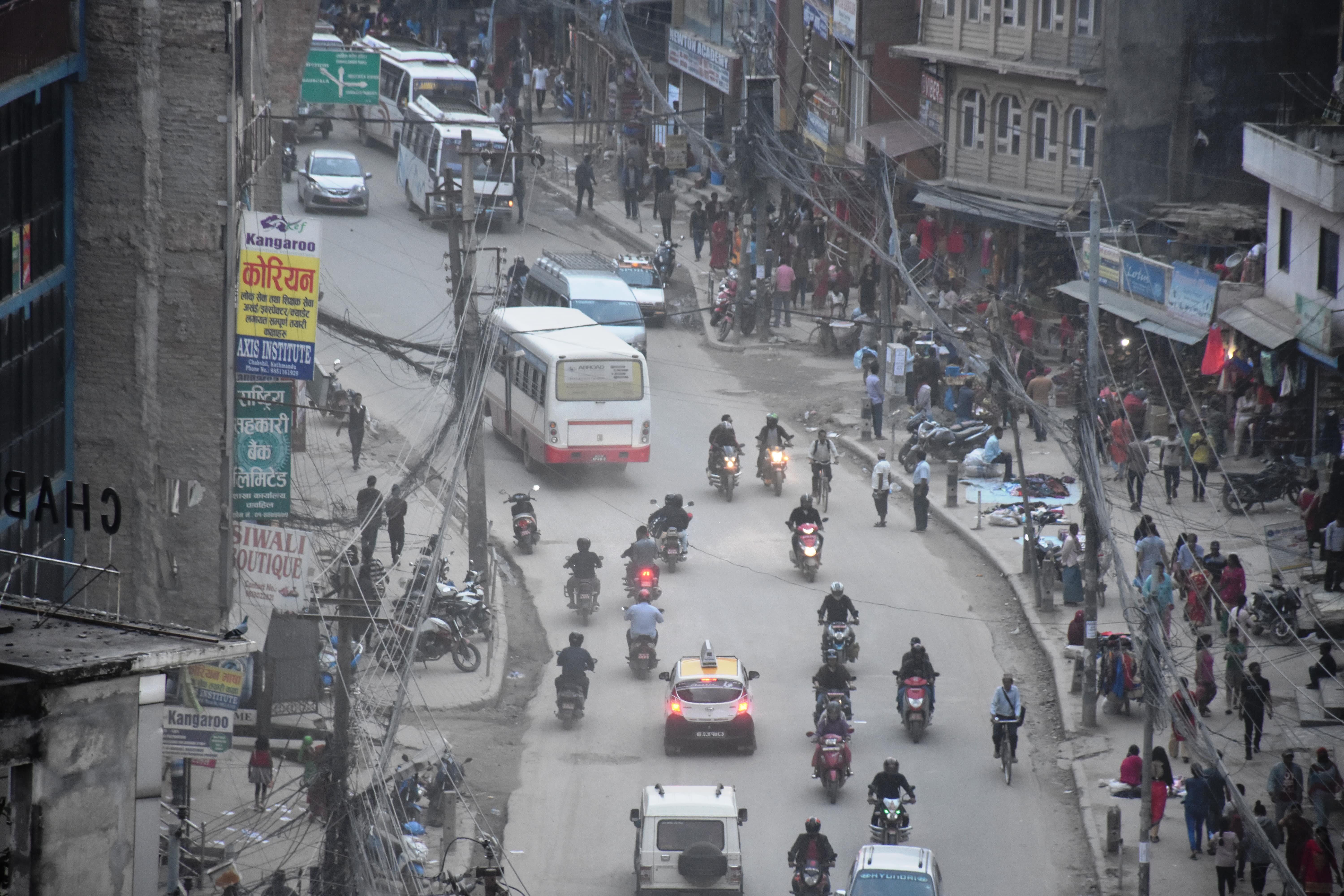
However, monsoon’s early arrival with heavy rainfall is likely to unleash disasters and deaths. In recent years, rainfall patterns have grown increasingly erratic, with more rain falling in shorter periods. This shift raises the risk of flash floods, landslides, and other weather-related emergencies—events that are becoming harder to predict and prepare for—including last year’s unprecedented September rainfall.
Meanwhile, the National Disaster Risk Reduction and Management Authority (NDRRMA) states it has already begun preparations to respond to potential disasters.
Read More Stories
Kathmandu’s decay: From glorious past to ominous future
Kathmandu: The legend and the legacy Legend about Kathmandus evolution holds that the...
Kathmandu - A crumbling valley!
Valleys and cities should be young, vibrant, inspiring and full of hopes with...
A week into Israel-Iran conflict
The latest escalation between Israel and Iran has entered its eighth day. Heres...

Business + Finance + Economy + Tech + Environment + Nepal & South Asia + In-depth Analysis + News + Investigation + Research + Expert Opinion + Anatomy of Complex Issues.
